Walking All of Geary Street in San Francisco
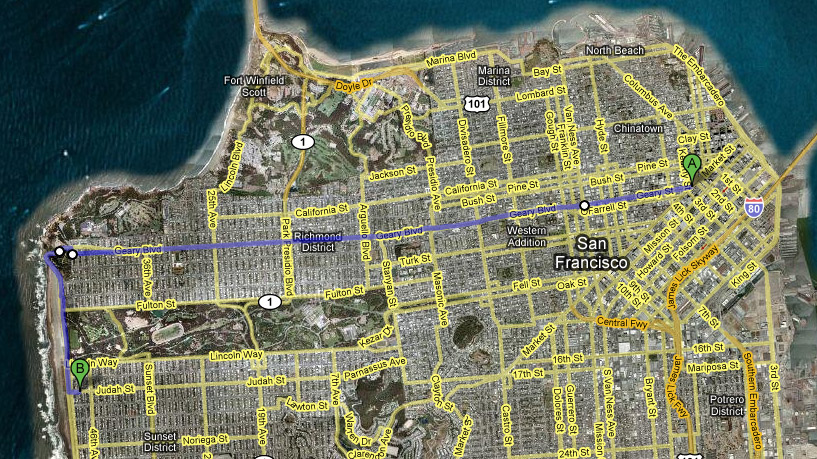
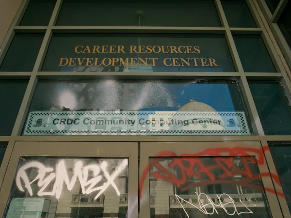
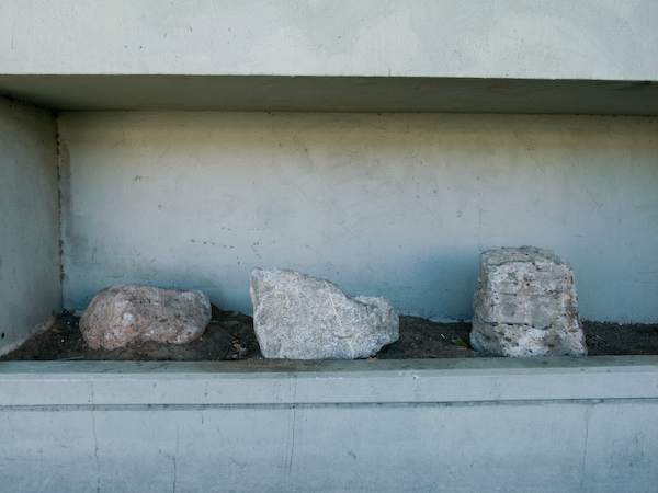
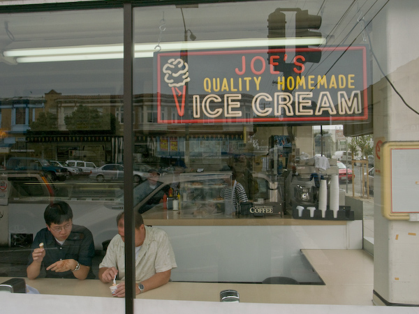
Last Sunday Jen and I walked all of Geary Street in San Francisco. We took BART to Montgomery Street, which is a block away from where Geary begins at Market Street. The beginning of the walk goes through Union Square, into the Tenderloin, through the Western Addition and Japantown before traveling the length of the Richmond District out to the ocean where Geary Street ends at Point Lobos just above the Cliff House. The whole length of Geary Street is about 6.1 miles. The weather was perfect, and the walk was a lot of fun. We stopped to eat at Louis' Restaurant which has an amazing view of the Sutro Baths -- especially on a rare clear Summer day. After lunch we continued down past the Cliff House and down the beach. To get back to downtown, look for the windmill on the other side of the road, cross the Great Highway, and continue 2 blocks South to Judah Street to the N Judah streetcar. Here's a Google Map of the full route which runs 7.6 miles. Note that it's Geary Street on the downtown side of Van Ness, and Geary Blvd after that. This could be a 3-4 hour fast walk, but there are so many things to see and do that it's much better as an all day adventure. Enjoy the photos!